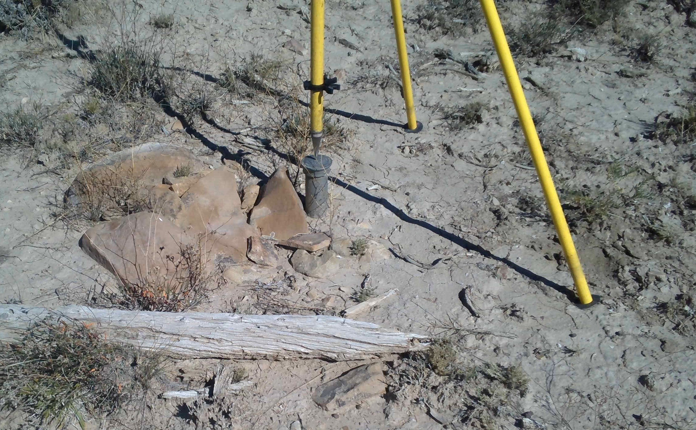
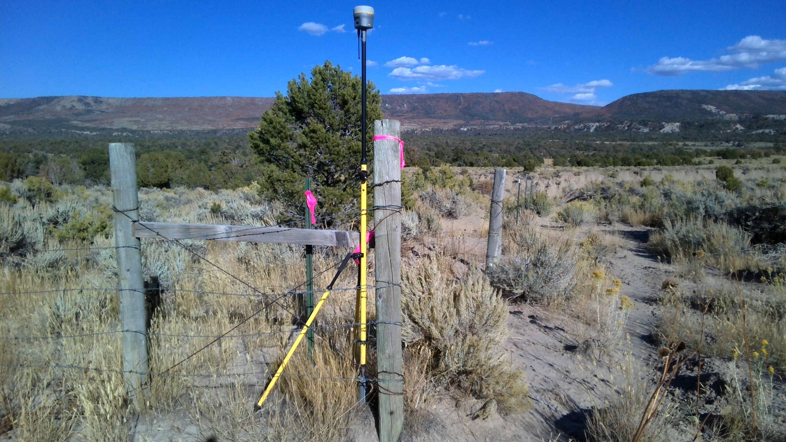
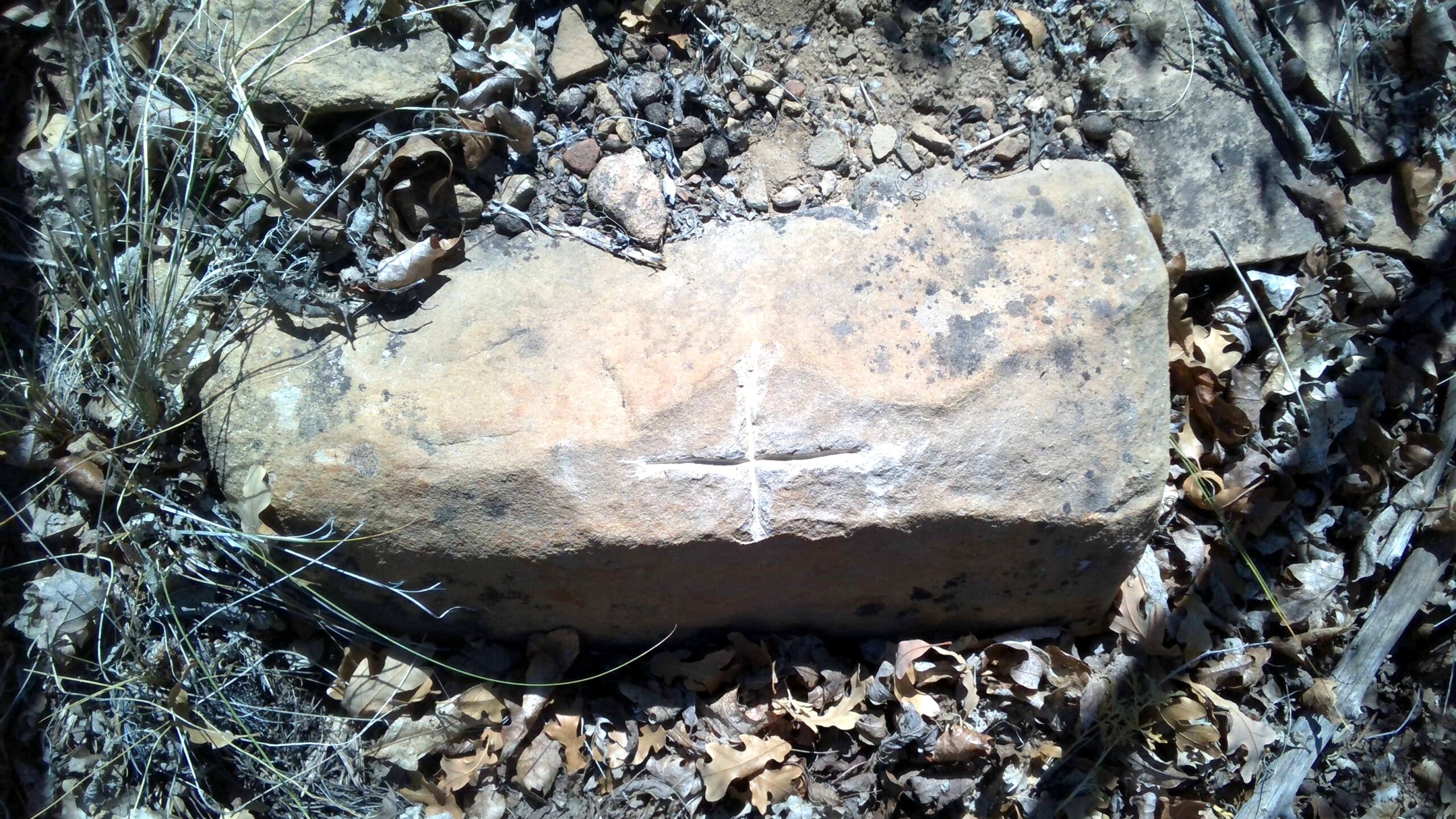
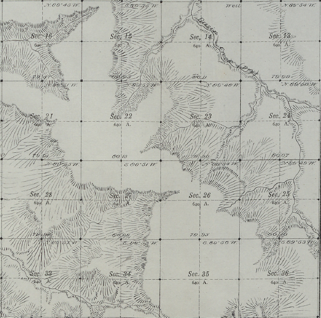
In the summer of 2020, our survey department teamed with Western Heritage as the engineer and WURX Construction as the contractor for a unique, Wild West-like, project. In the vast, open lands of San Miguel County outside Naturita, the lines of our client’s 3030-acre property were being challenged by the Bureau of Land Management (BLM). Most properties in this country are tiny lots subdivided from 1-mile by 1-mile sections as defined by the Public Land Surveys System (PLSS); Our client’s property spanned across 9 different sections! To add to the challenge, the property shared a boundary with a township line. Before sections were created in accordance with the PLSS, 6-mile by 6-mile townships had to be surveyed. In order to properly locate all the lines of our client’s parcel, our team had to retrace parts of the original township survey performed by Geo. D. Nickel, U.S. Deputy Surveyor, from 1881-1882. Relying on the rules of PLSS, dedication, experience, and perseverance, we were able to find most corners of our client’s exterior boundary. As surveyors, our duty is to the line, and in this situation, we were pleased that in the lines refuted the BLM in favor of our client.
In the summer of 2020, our survey department teamed with Western Heritage as the engineer and WURX Construction as the contractor for a unique, Wild West-like, project. In the vast, open lands of San Miguel County outside Naturita, the lines of our client’s 3030-acre property were being challenged by the Bureau of Land Management (BLM). Most properties in this country are tiny lots subdivided from 1-mile by 1-mile sections as defined by the Public Land Surveys System (PLSS); Our client’s property spanned across 9 different sections! To add to the challenge, the property shared a boundary with a township line. Before sections were created in accordance with the PLSS, 6-mile by 6-mile townships had to be surveyed. In order to properly locate all the lines of our client’s parcel, our team had to retrace parts of the original township survey performed by Geo. D. Nickel, U.S. Deputy Surveyor, from 1881-1882. Relying on the rules of PLSS, dedication, experience, and perseverance, we were able to find most corners of our client’s exterior boundary. As surveyors, our duty is to the line, and in this situation, we were pleased that in the lines refuted the BLM in favor of our client.
In the summer of 2020, our survey department teamed with Western Heritage as the engineer and WURX Construction as the contractor for a unique, Wild West-like, project. In the vast, open lands of San Miguel County outside Naturita, the lines of our client’s 3030-acre property were being challenged by the Bureau of Land Management (BLM). Most properties in this country are tiny lots subdivided from 1-mile by 1-mile sections as defined by the Public Land Surveys System (PLSS); Our client’s property spanned across 9 different sections! To add to the challenge, the property shared a boundary with a township line. Before sections were created in accordance with the PLSS, 6-mile by 6-mile townships had to be surveyed. In order to properly locate all the lines of our client’s parcel, our team had to retrace parts of the original township survey performed by Geo. D. Nickel, U.S. Deputy Surveyor, from 1881-1882. Relying on the rules of PLSS, dedication, experience, and perseverance, we were able to find most corners of our client’s exterior boundary. As surveyors, our duty is to the line, and in this situation, we were pleased that in the lines refuted the BLM in favor of our client.


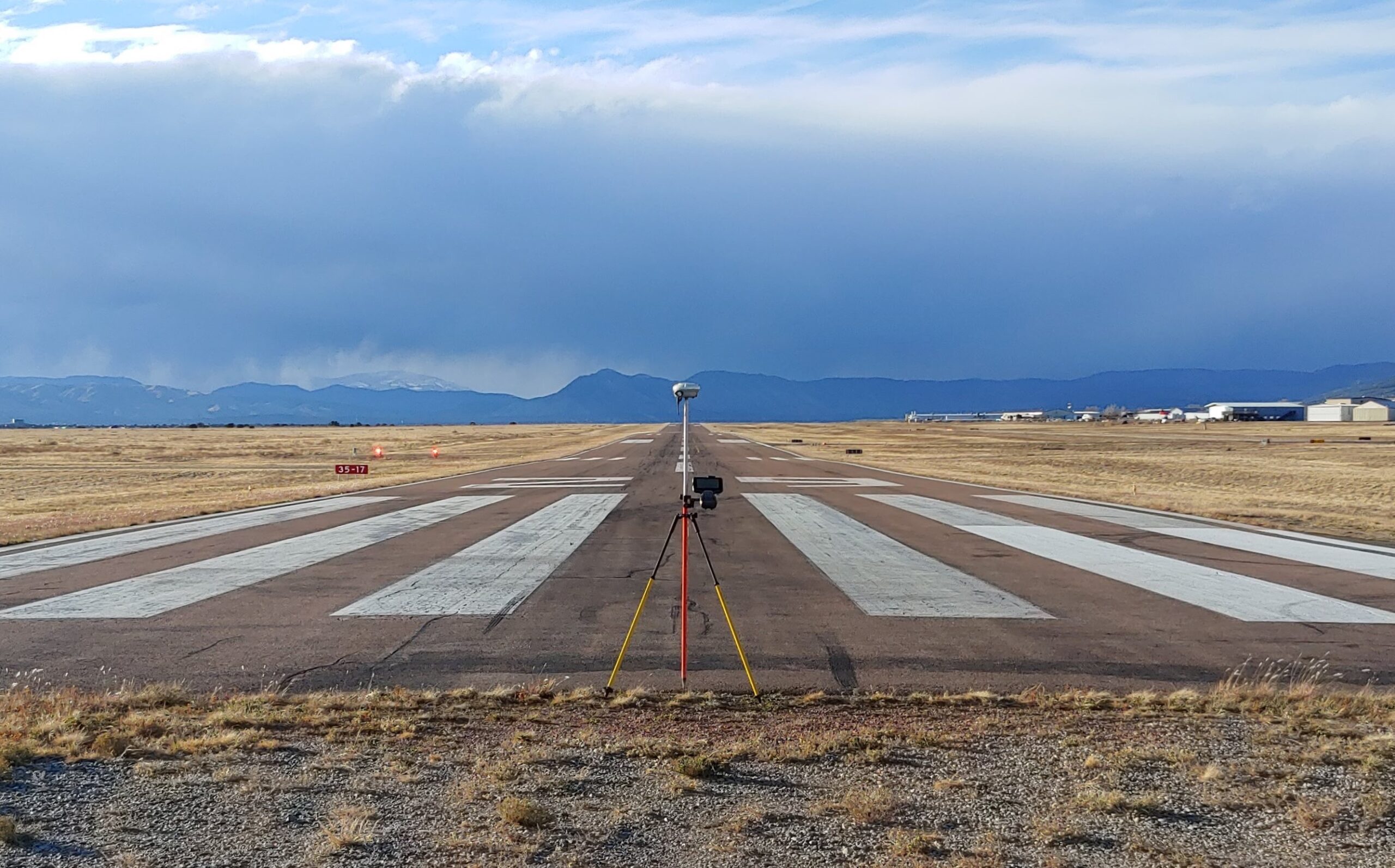
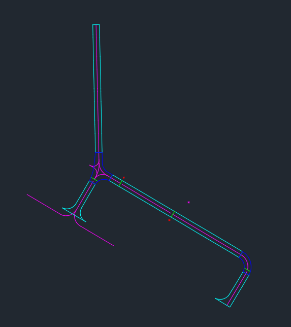
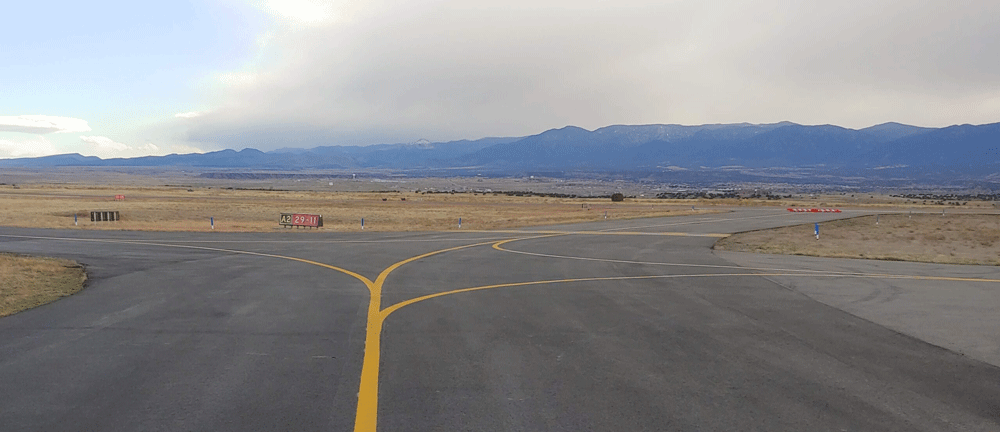
River City Consultants survey department recently completed its first project in support of the FAA’s Airports Geographic Information Systems (AGIS) at the Fremont County Airport in Cañon City, CO. This was a post construction survey. The project required front-end research, a new data collection library, and formatting the final Autocad file to meet FAA standards. The River City Consultants survey team is excited join the field of AGIS data collection surveyors!
River City Consultants survey department recently completed its first project in support of the FAA’s Airports Geographic Information Systems (AGIS) at the Fremont County Airport in Cañon City, CO. This was a post construction survey. The project required front-end research, a new data collection library, and formatting the final Autocad file to meet FAA standards. The River City Consultants survey team is excited join the field of AGIS data collection surveyors!
River City Consultants survey department recently completed its first project in support of the FAA’s Airports Geographic Information Systems (AGIS) at the Fremont County Airport in Cañon City, CO. This was a post construction survey. The project required front-end research, a new data collection library, and formatting the final Autocad file to meet FAA standards. The River City Consultants survey team is excited join the field of AGIS data collection surveyors!


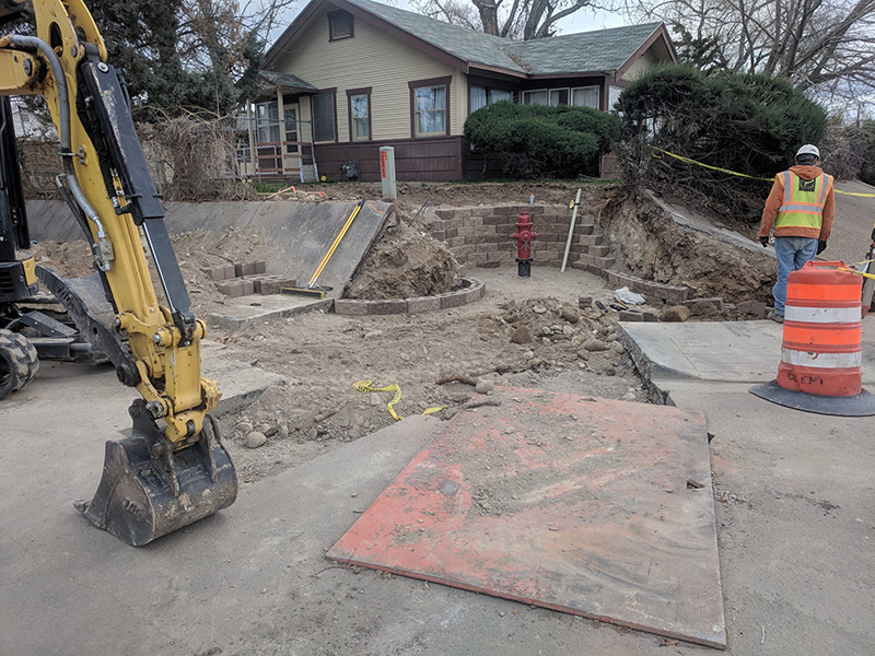
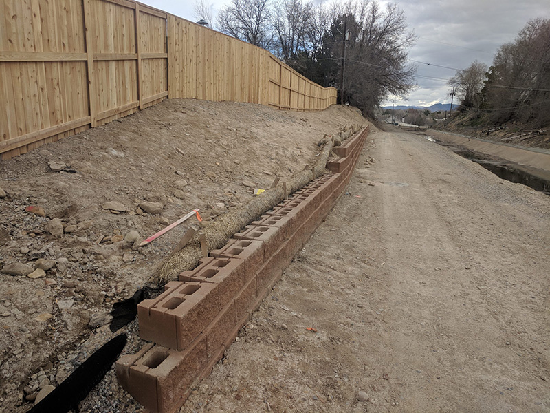
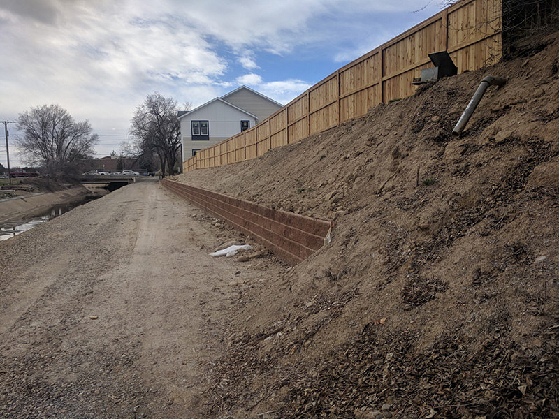
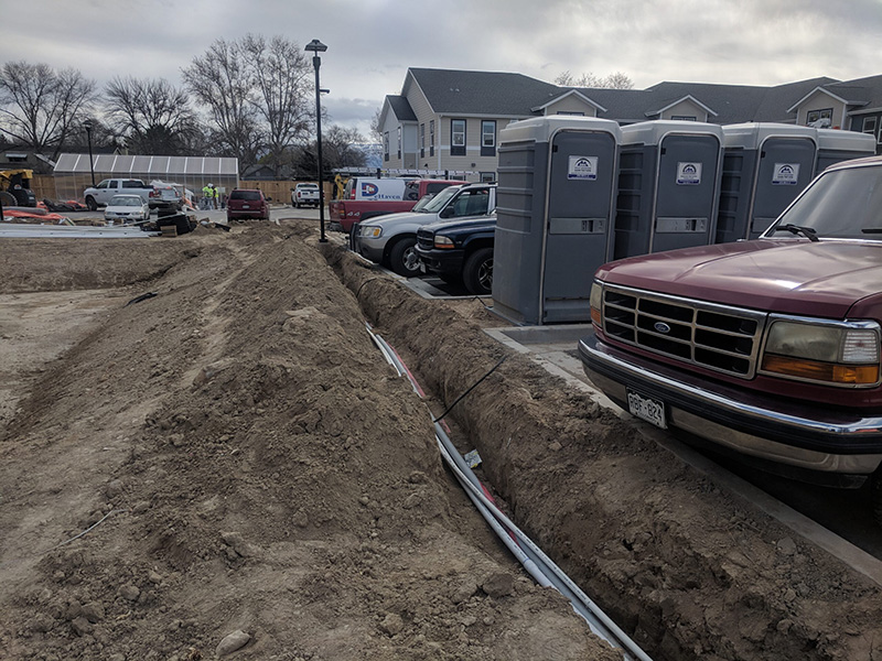
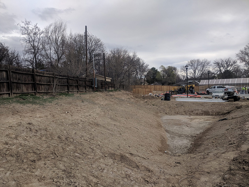
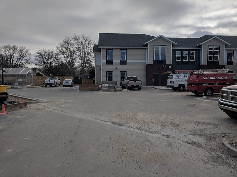
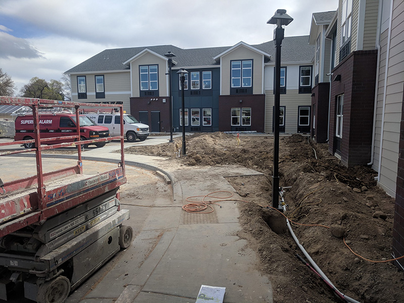
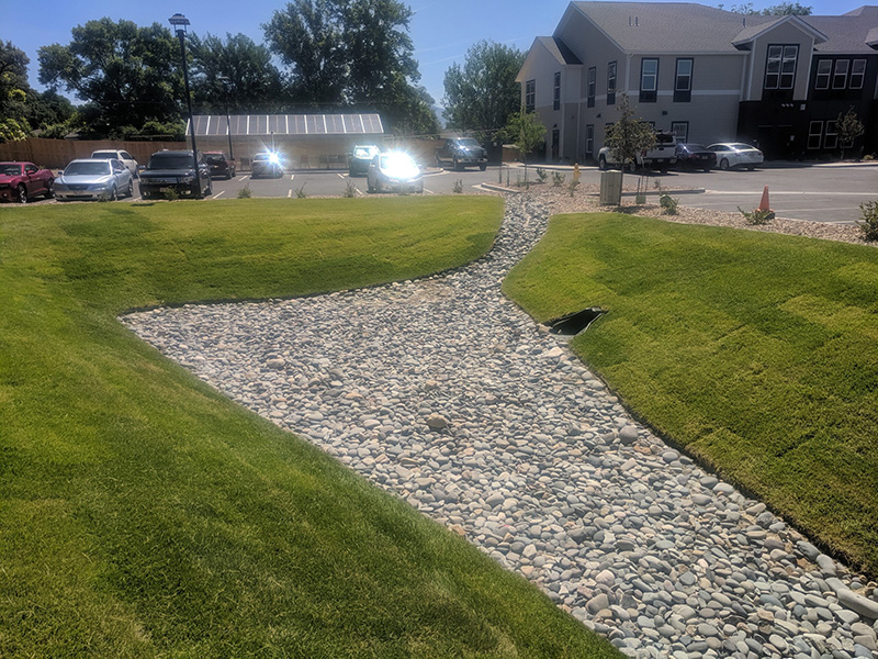
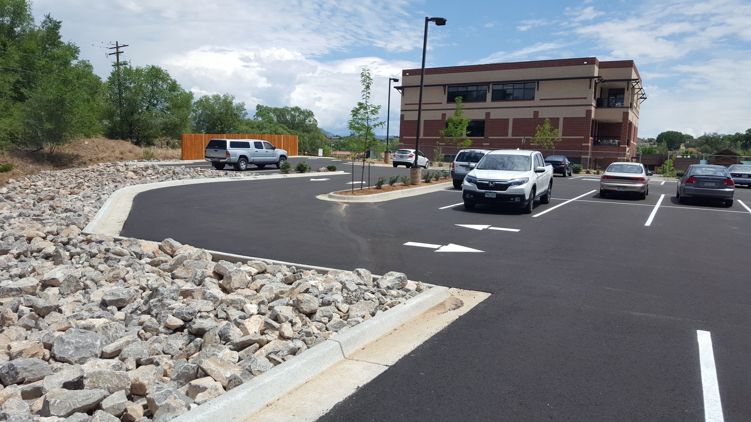
River City Consultants took The Lodge and Wellage at Grand Junction, an assisted living/memory care facility, through an Outline Development Plan (ODP)/Rezone, Major Site Plan, and Simple Subdivision applications to obtain approval of the project with the City of Grand Junction. The scope of work for this job consisted of project administration, engineering, surveying, assistance with obtaining the building permits and construction assistance.
River City Consultants took The Lodge and Wellage at Grand Junction, an assisted living/memory care facility, through an Outline Development Plan (ODP)/Rezone, Major Site Plan, and Simple Subdivision applications to obtain approval of the project with the City of Grand Junction. The scope of work for this job consisted of project administration, engineering, surveying, assistance with obtaining the building permits and construction assistance.
River City Consultants took The Lodge and Wellage at Grand Junction, an assisted living/memory care facility, through an Outline Development Plan (ODP)/Rezone, Major Site Plan, and Simple Subdivision applications to obtain approval of the project with the City of Grand Junction. The scope of work for this job consisted of project administration, engineering, surveying, assistance with obtaining the building permits and construction assistance.


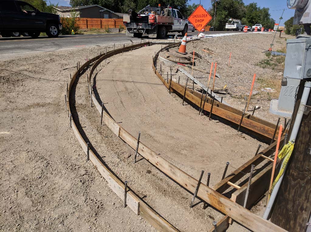
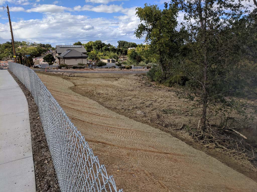
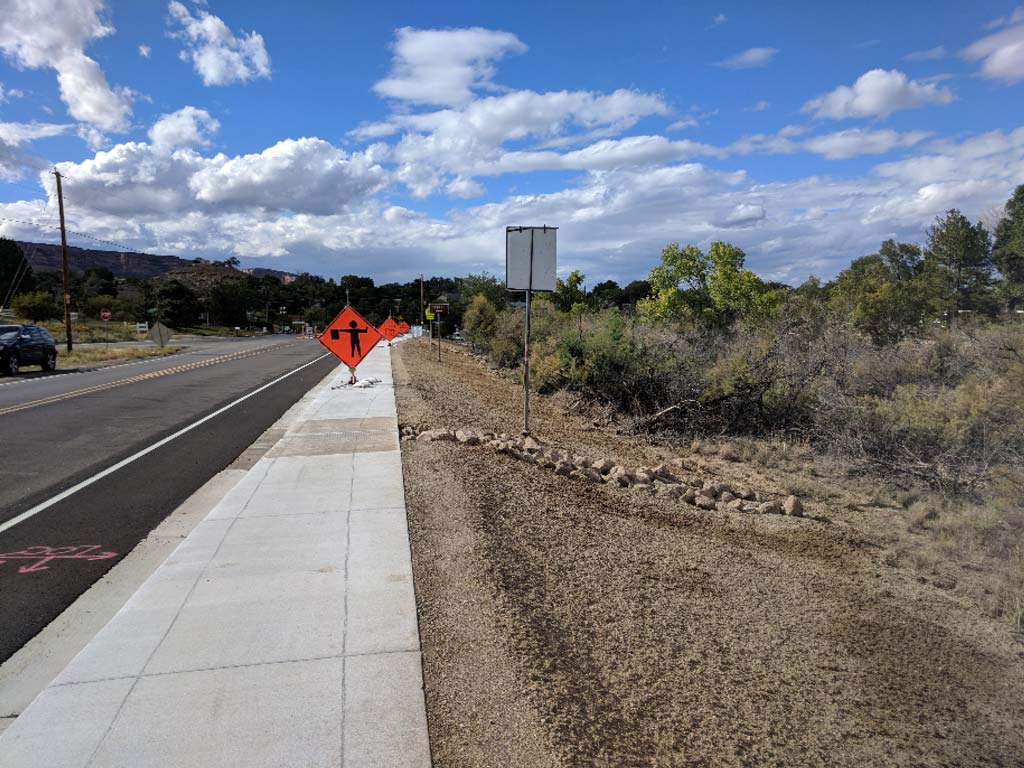
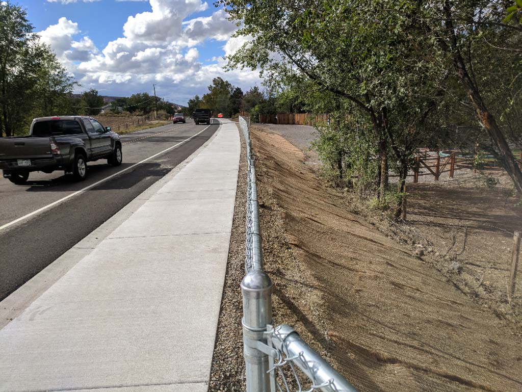
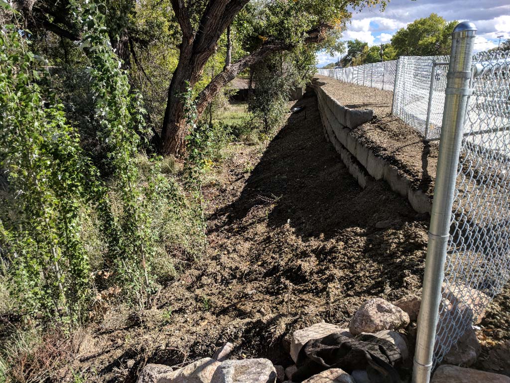
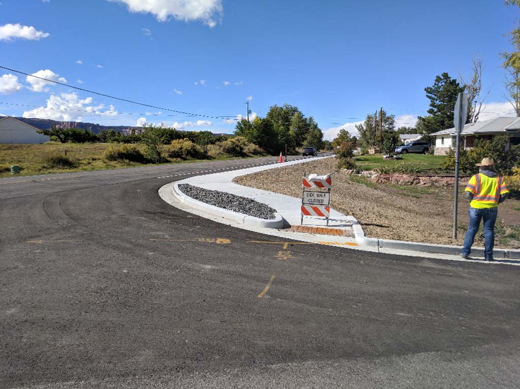
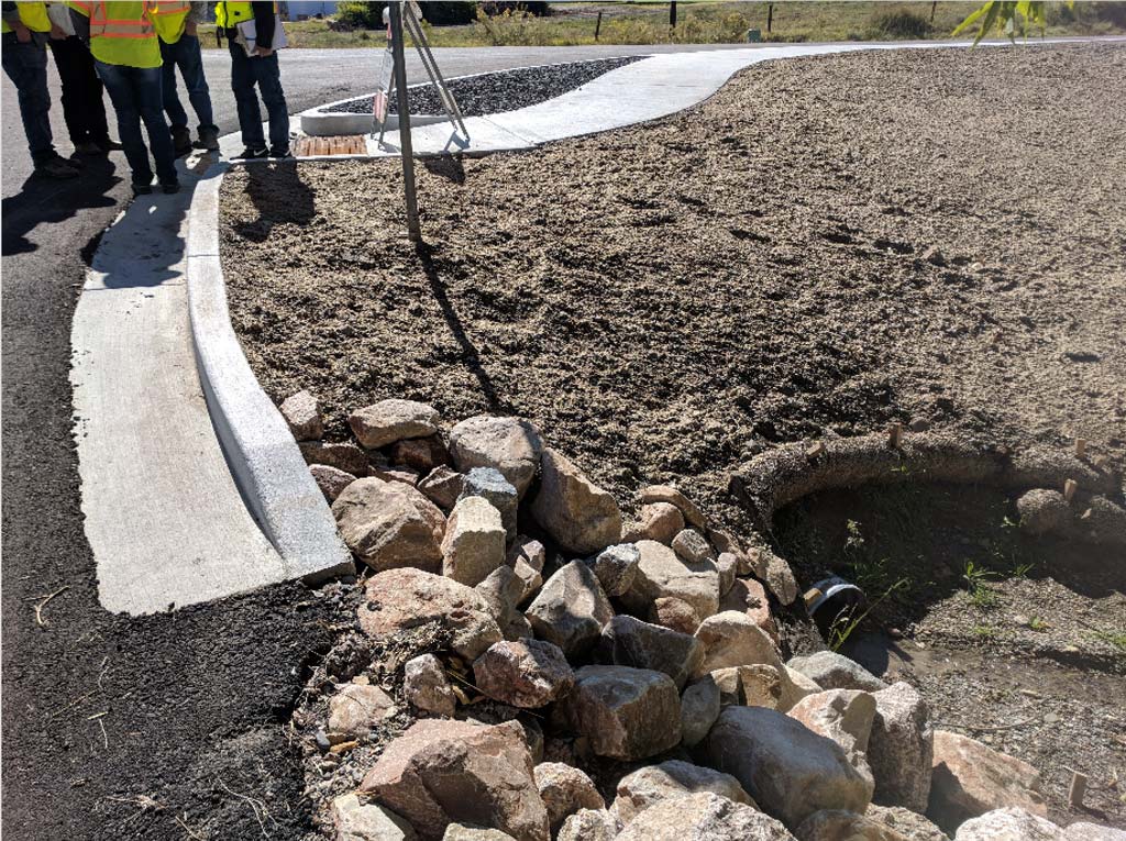
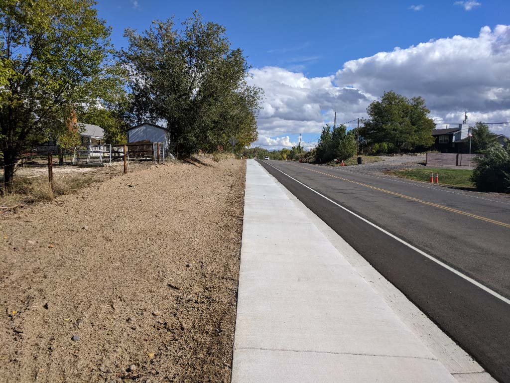
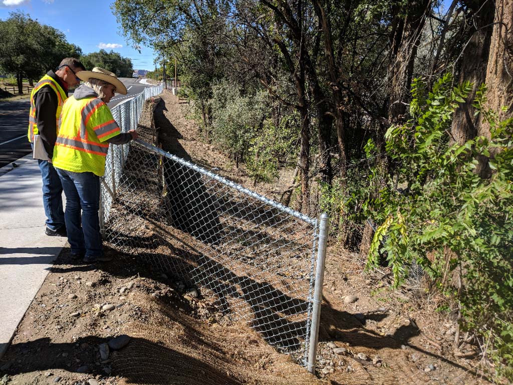
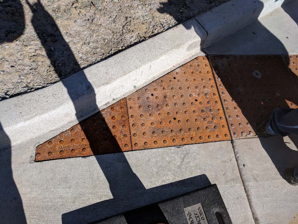
River City Consultants engineered sidewalk improvements on Highway 340 for Mesa County. The scope of work entailed engineering a pedestrian pathway and inter-connectivity of existing pedestrian pathways along the Highway 340 corridor.
River City Consultants' scope included:
• Surveying included ownership, rights-of-way, easements, monument research, topographic survey, utility locates, and to develop base a map for the project.
• Engineering consisted of developing design alternatives, design of the sidewalk and path, ADA compliance (walk and curb ramps), drainage analysis & design, existing access tie-in (e.g., driveways), signage and striping, identifying required ROW acquisition, requiring easements, and preparing a CDOT compliant plan set and project specifications.
• Construction management entailed River City Consultants assisting Mesa County with CDOT compliant management of the project through the "local liaison" program, construction observation, and CDOT documentation of construction, materials, labor, and payment.


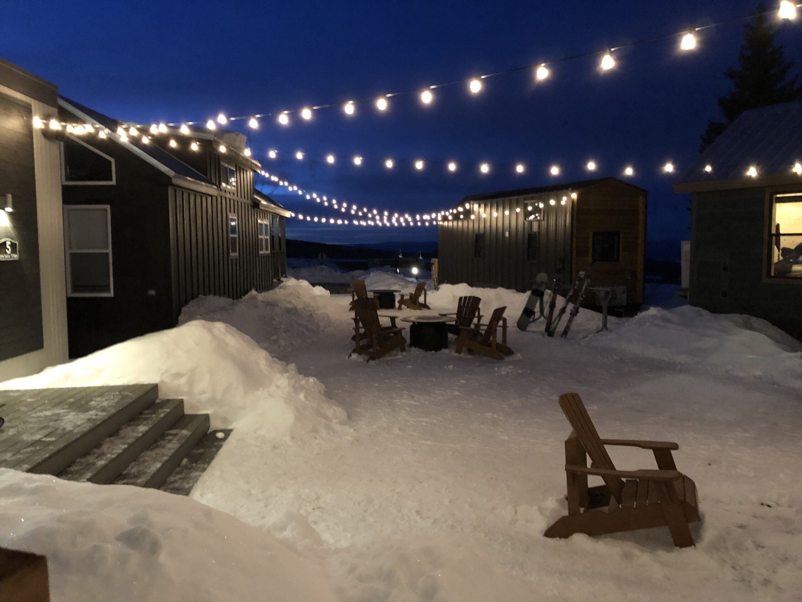
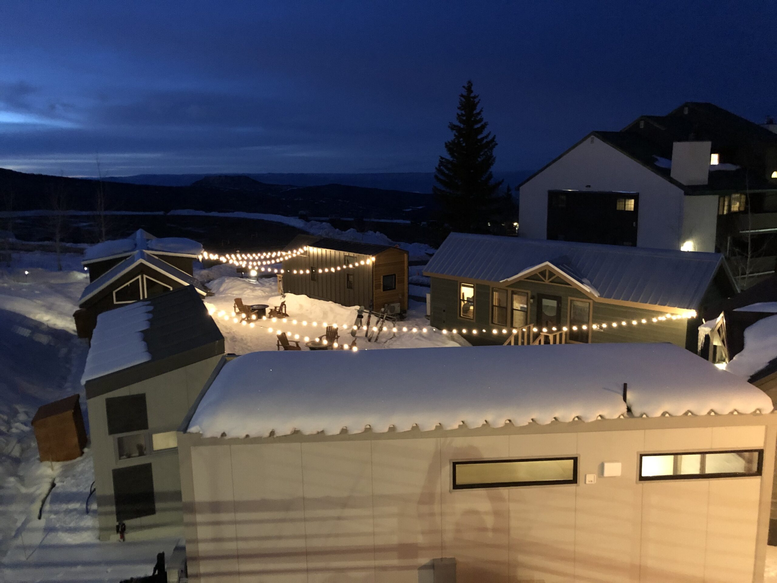
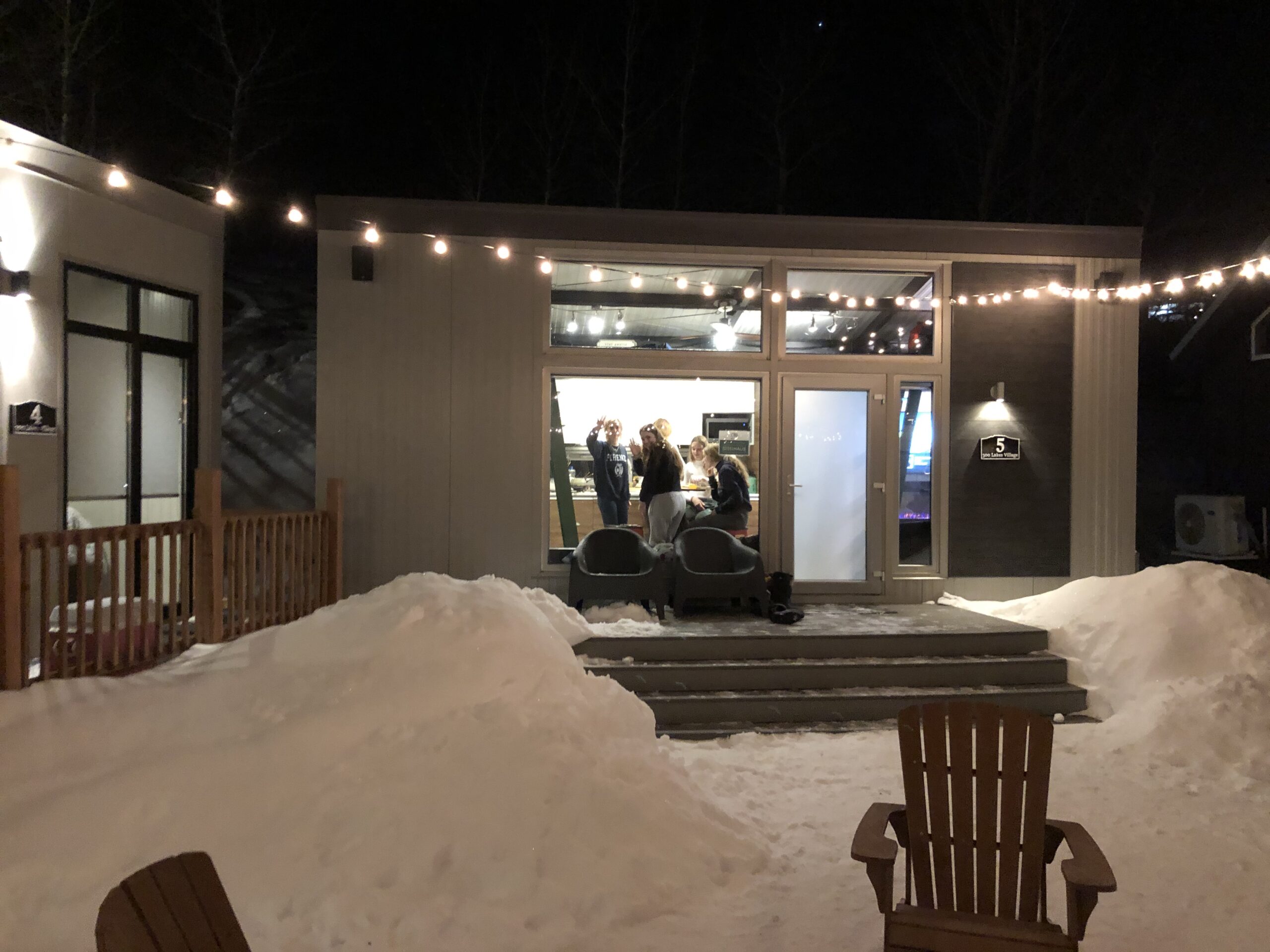
River City Consultants provided engineering and surveying for eight mobile “tiny homes” on .59 at Powderhorn Mountain Resort under a Temporary Use Permit with Mesa County. The scope of work included an engineering level topographic survey and site plan, utility locations, a level two traffic study, stormwater management plan, preliminary and final engineering, water/sewer demand calculations, and a representative for public hearings. This project was approved by Mesa County on September 16, 2019.
River City Consultants provided engineering and surveying for eight mobile “tiny homes” on .59 at Powderhorn Mountain Resort under a Temporary Use Permit with Mesa County. The scope of work included an engineering level topographic survey and site plan, utility locations, a level two traffic study, stormwater management plan, preliminary and final engineering, water/sewer demand calculations, and a representative for public hearings. This project was approved by Mesa County on September 16, 2019.
River City Consultants provided engineering and surveying for eight mobile “tiny homes” on .59 at Powderhorn Mountain Resort under a Temporary Use Permit with Mesa County. The scope of work included an engineering level topographic survey and site plan, utility locations, a level two traffic study, stormwater management plan, preliminary and final engineering, water/sewer demand calculations, and a representative for public hearings. This project was approved by Mesa County on September 16, 2019.


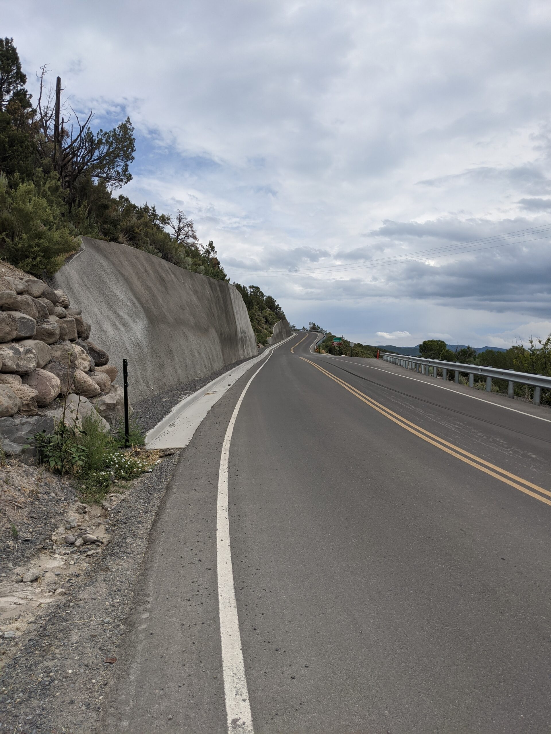
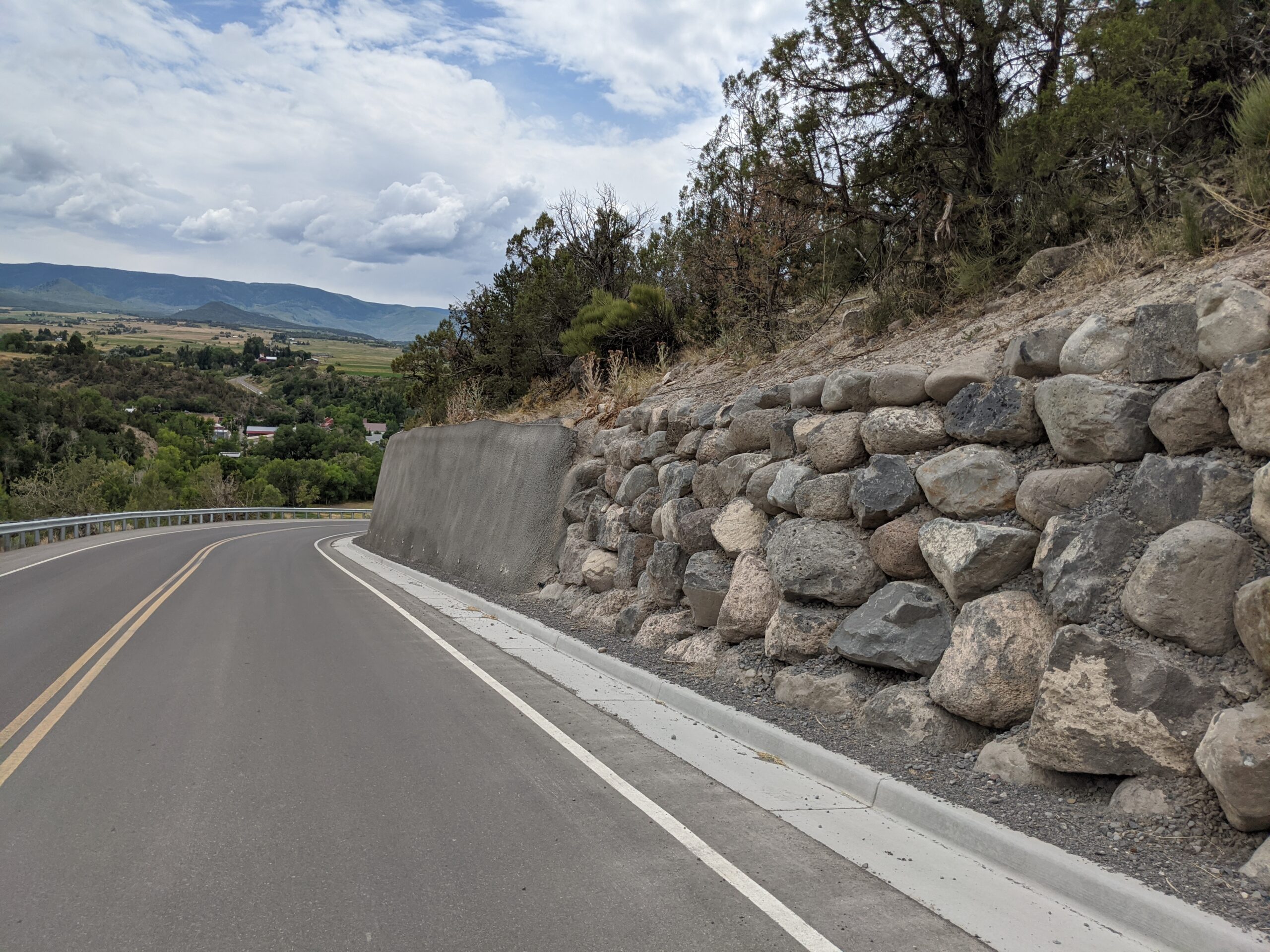
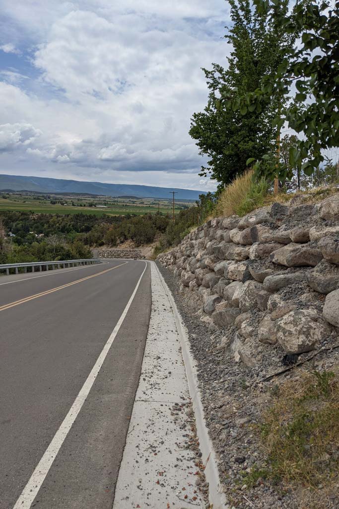
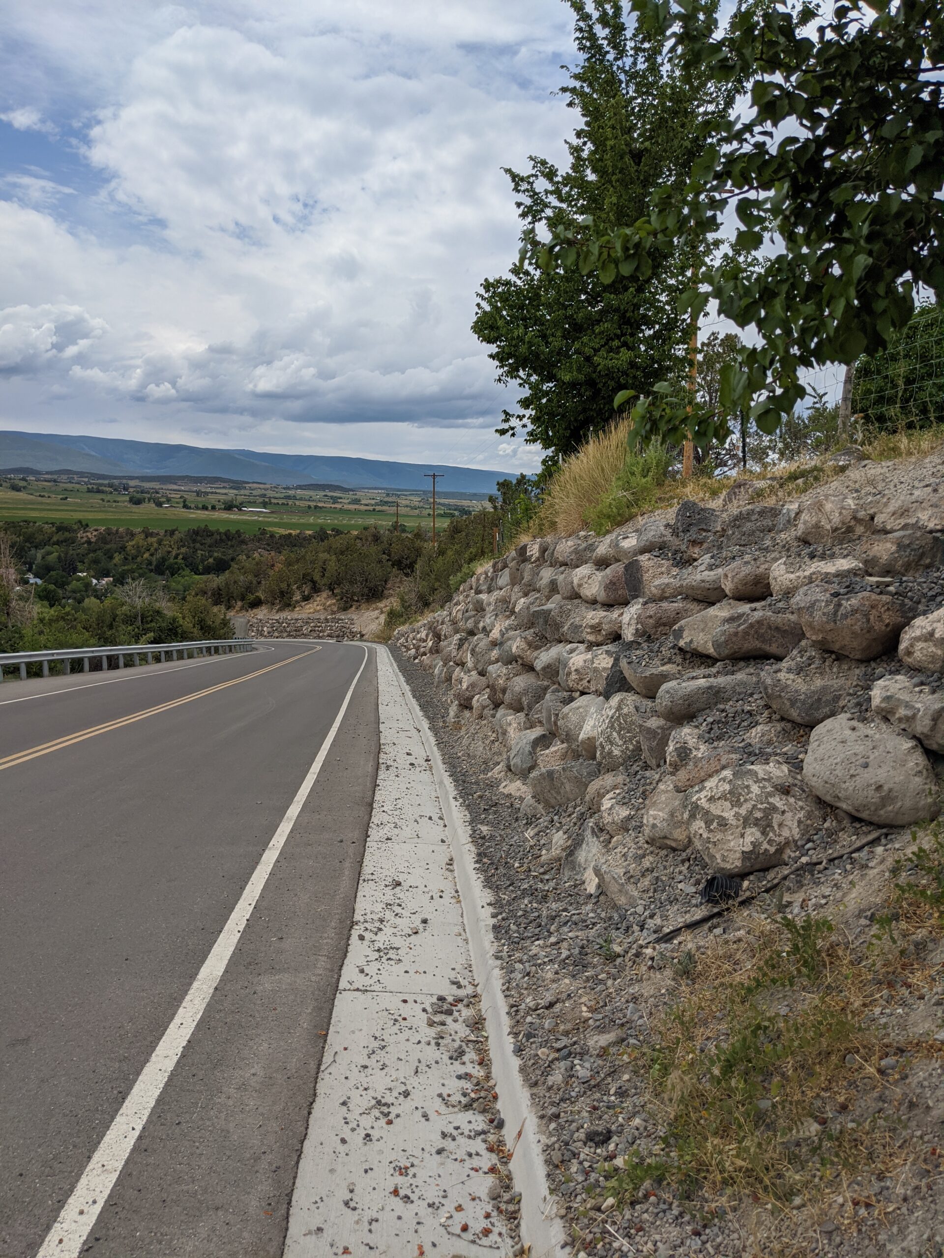
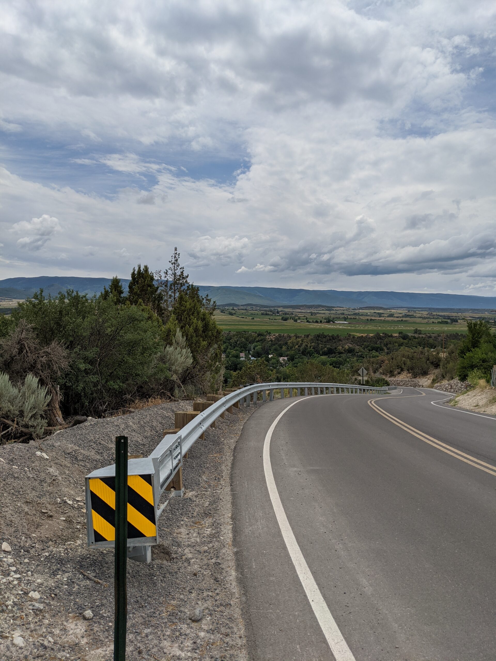
In 2018, River City Consultants engineered safety improvements for Mesa County along Kimball Creek Road between miles 58.6 and 58.7 of Buzzard Creek Rd. The project consisted of ~ 4 miles of road widening, sight distance improvements, resurfacing, clearing of roadside vegetation, MSE retaining walls, trench drains, numerous road culvert replacements and State and County permits. The accomplished goals of this project were to:
• Provide a corridor that focused on safety and functionality while accommodating heavy equipment traffic and the adjacent landowners
• Improve drainage conditions
• Remain within existing ROW limits and to minimize disturbance of land and existing properties
• Minimizing utility relocations to save time and money for the client.


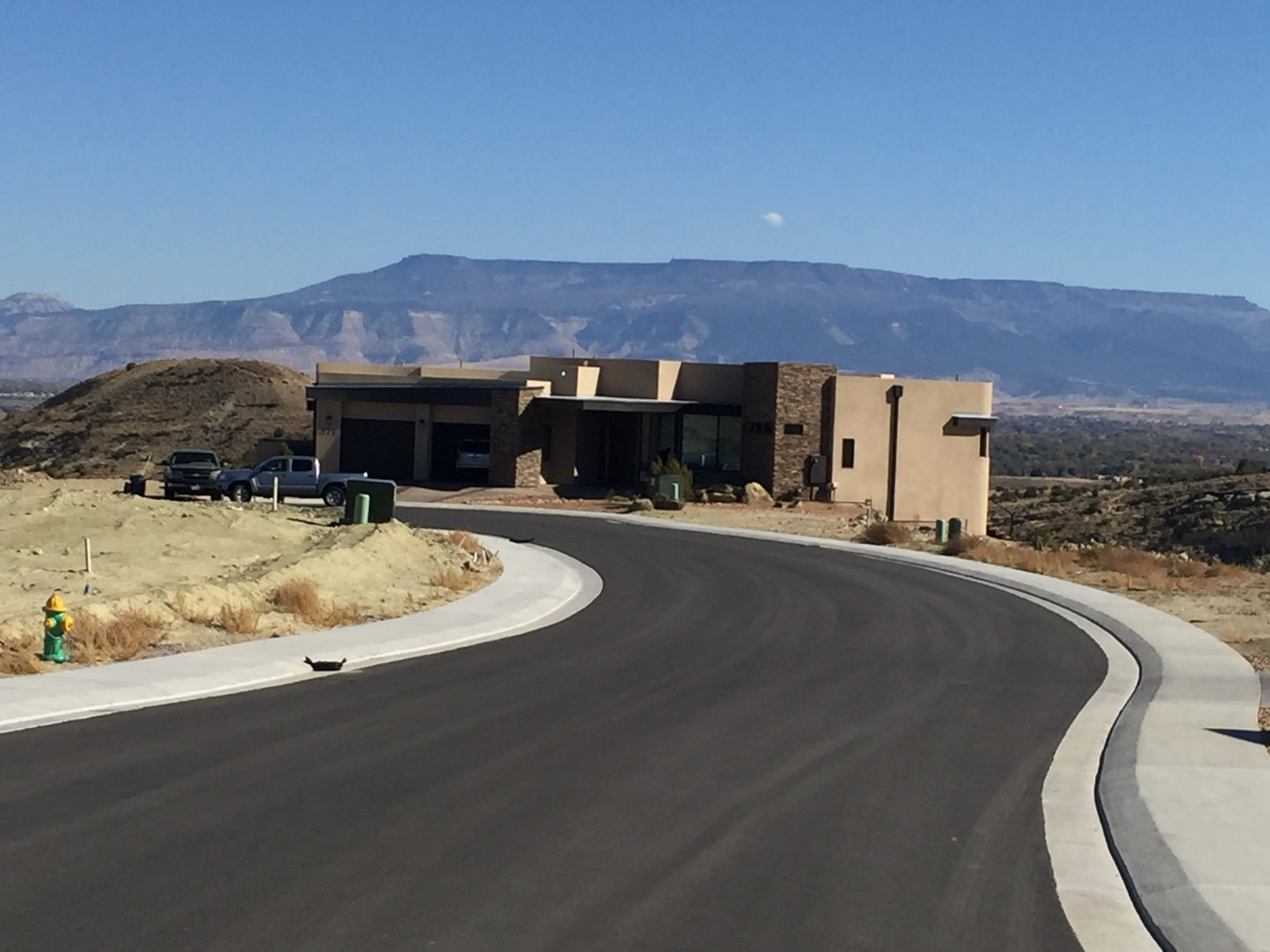
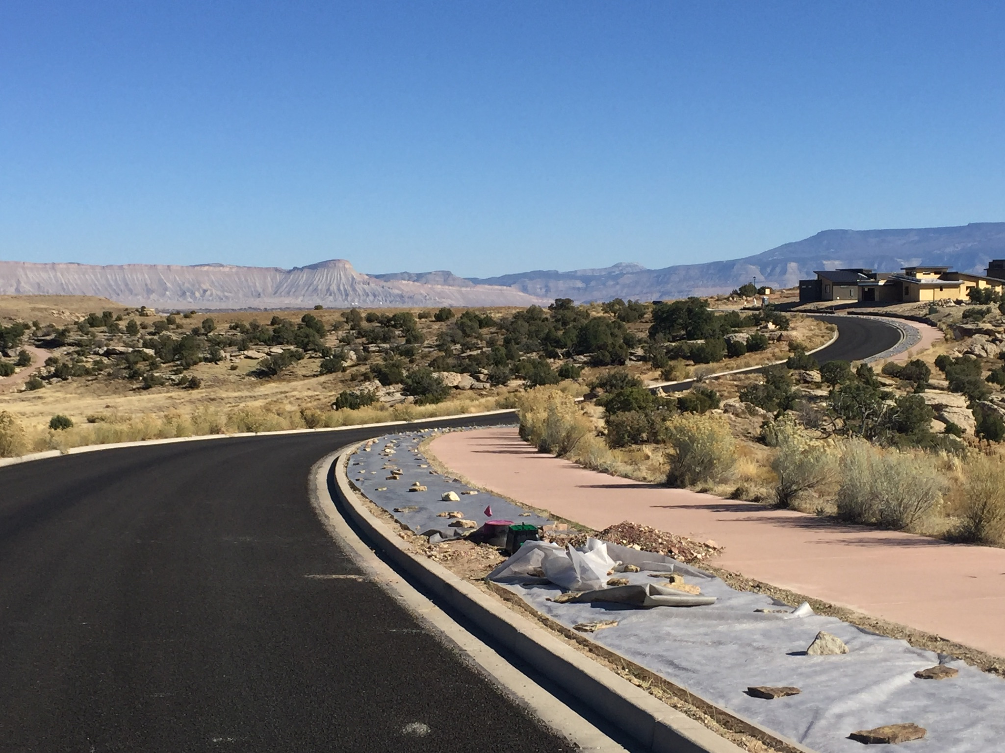
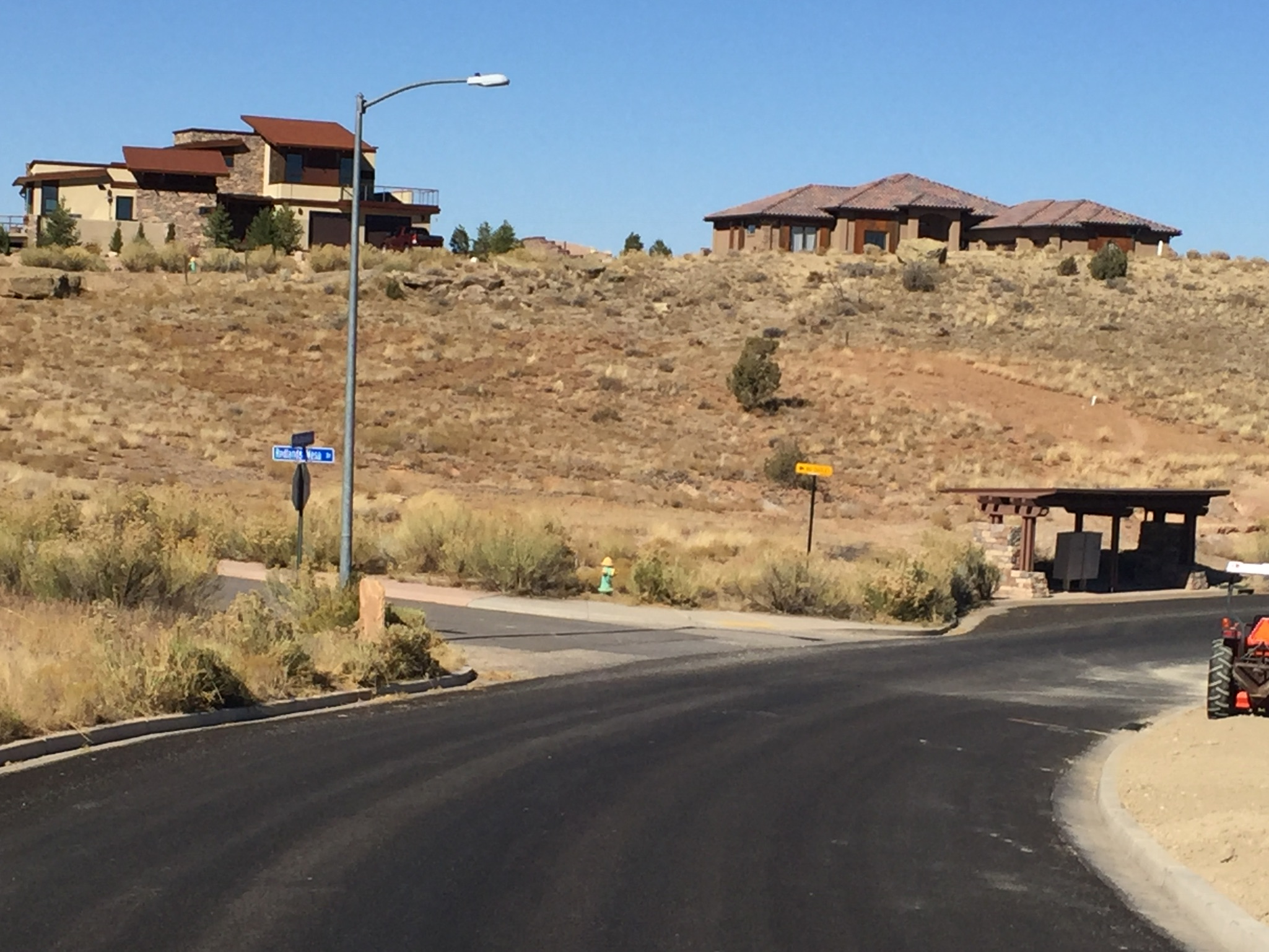
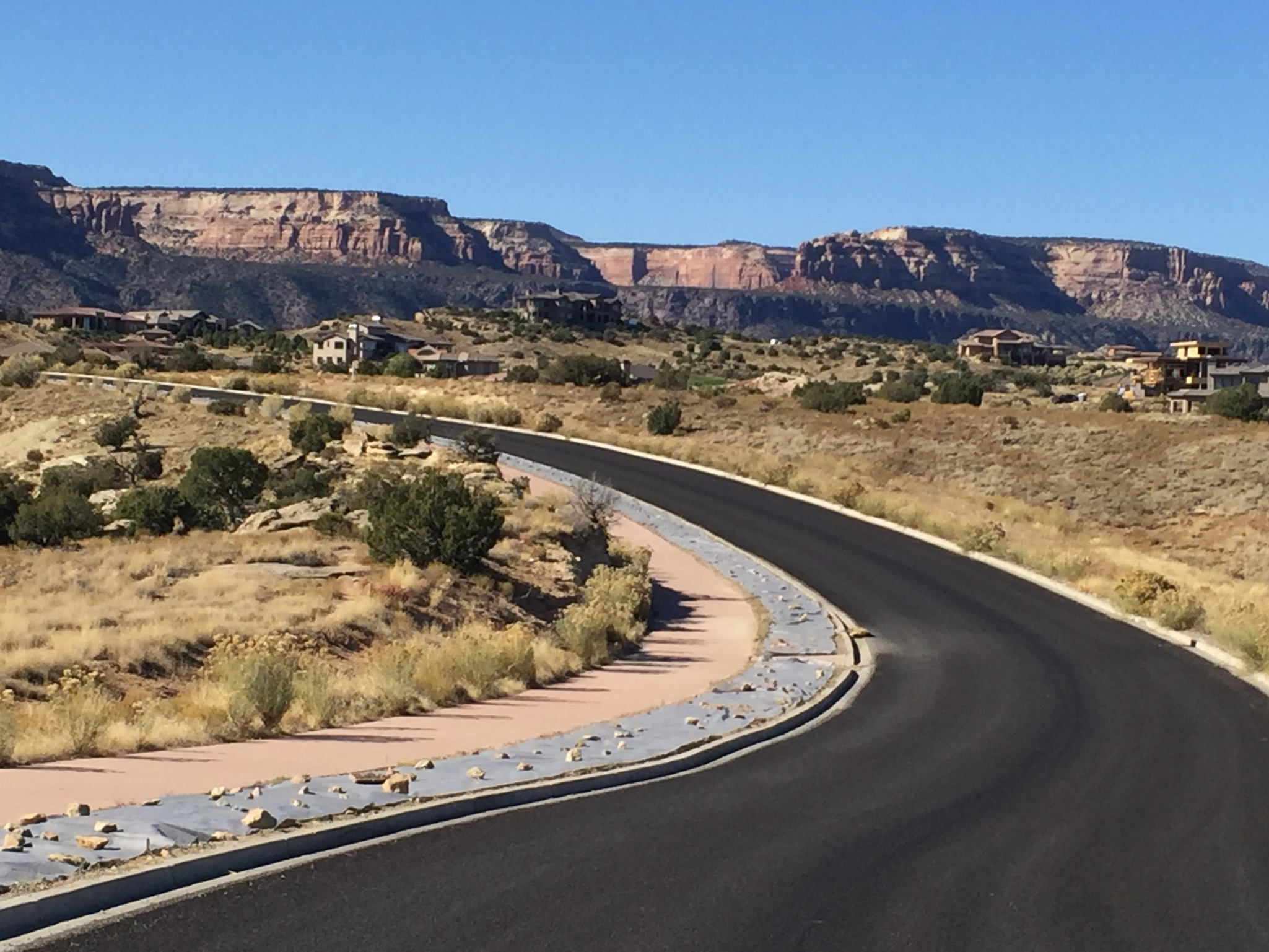
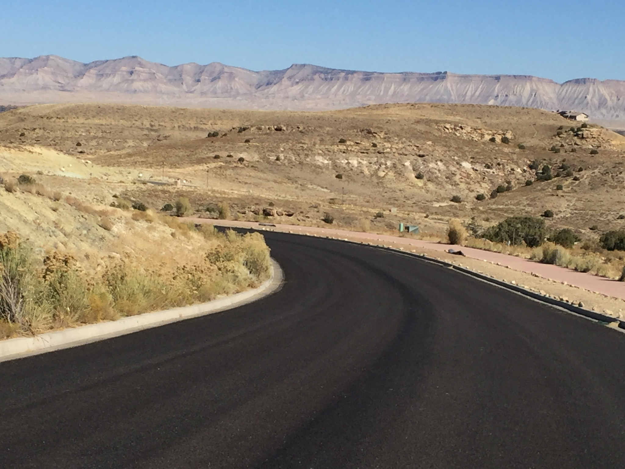
Project Type: Residential Development
Description: Full civil engineering of mulit-phase residential golf course community that included engineering of roads and utility infrastructure in challenging topographic environment.
Project Type: Residential Development
Description: Full civil engineering of mulit-phase residential golf course community that included engineering of roads and utility infrastructure in challenging topographic environment.
Project Type: Residential Development
Description: Full civil engineering of mulit-phase residential golf course community that included engineering of roads and utility infrastructure in challenging topographic environment.


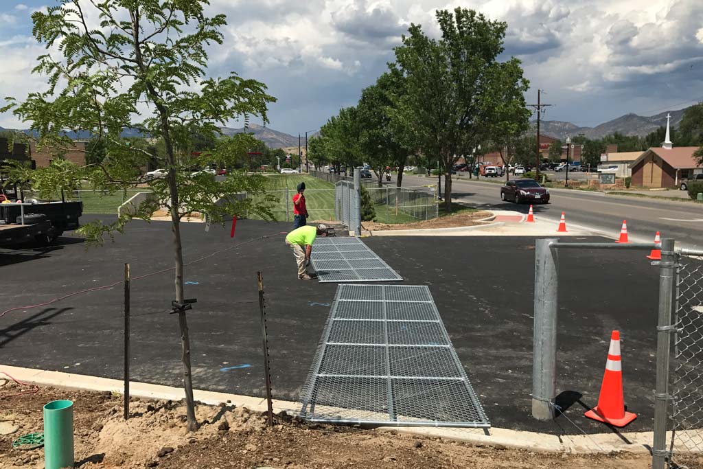
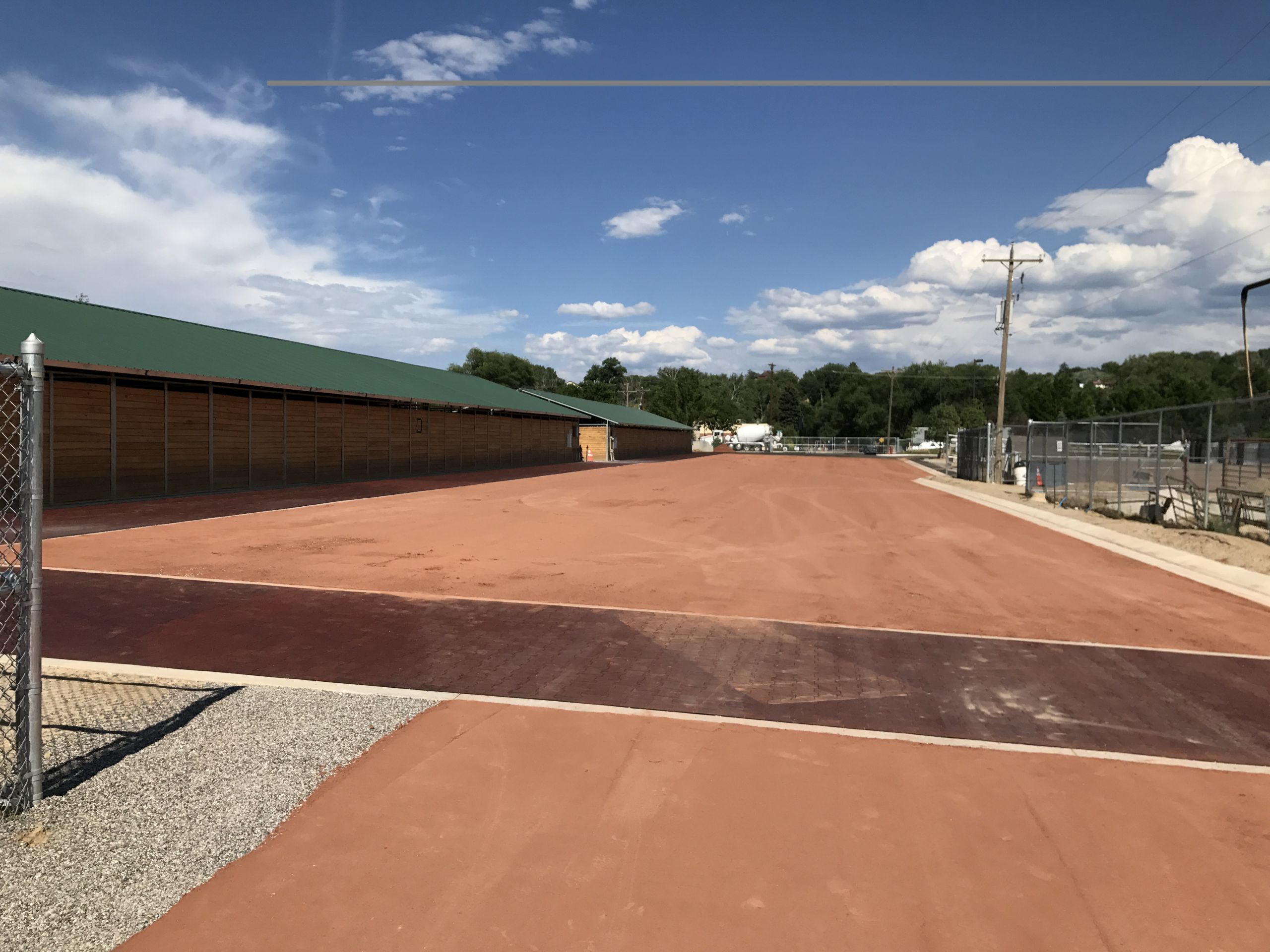
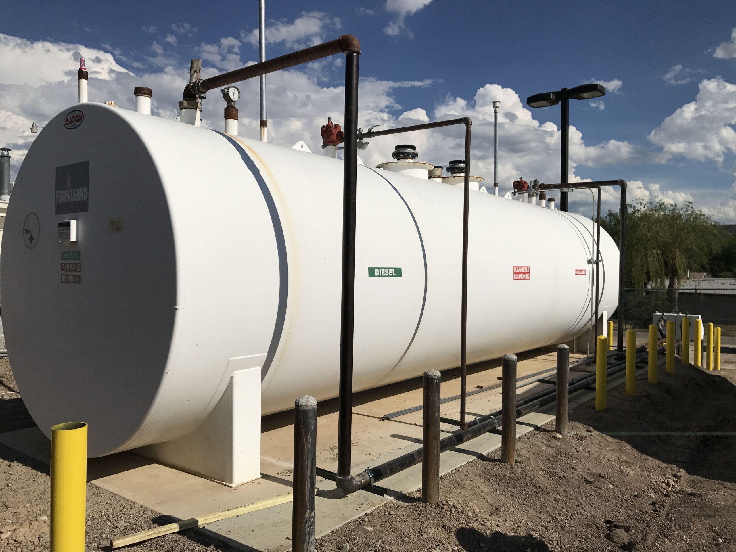
Project Type: Access & Parking Upgrades, Fuel Tank Relocation
Team Members: River City Consultants, Storage Tank Technology Inc., Huddleston-Berry, Wolverton Landscaping
Construction Cost: $1.2M
Project Type: Access & Parking Upgrades, Fuel Tank Relocation
Team Members: River City Consultants, Storage Tank Technology Inc., Huddleston-Berry, Wolverton Landscaping
Construction Cost: $1.2M
Project Type: Access & Parking Upgrades, Fuel Tank Relocation
Team Members: River City Consultants, Storage Tank Technology Inc., Huddleston-Berry, Wolverton Landscaping
Construction Cost: $1.2M


